


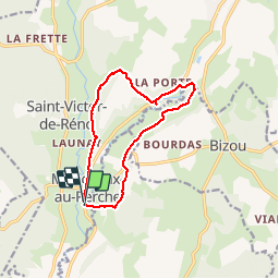

10,6 km | 13,5 km-effort

Gebruiker


Gratisgps-wandelapplicatie
 SityTrail
IGN / Geografische instituten
SityTrail World
De wereld gaat voor u open
Tocht Stappen van 10,6 km beschikbaar op Normandië, Orne, Longny les Villages. Deze tocht wordt voorgesteld door olaf60.
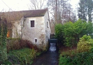
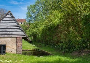
variante mineure de la boucle déjà en ligne. tient compte d'un chemin fermé et avec une diversion à un beau moulin.
convient à tout public, ombragé pour les canicules...


Stappen
![Tocht Stappen Bizou - [Itinéraire] Les sables du Perche - Photo](https://media.geolcdn.com/t/375/260/6b586e88-fad3-40df-be07-9b2a61186b9b.jpeg&format=jpg&maxdim=2)
Stappen

Te voet
![Tocht Stappen La Chapelle-Montligeon - [Itinéraire] Le Mont Ligeon - Photo](https://media.geolcdn.com/t/375/260/ce92da88-fb92-411f-965d-5e4e270d0f79.jpeg&format=jpg&maxdim=2)
Stappen
Stappen
Stappen
Stappen
Stappen
Stappen